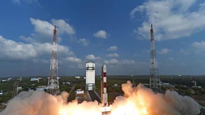
A Russian Rokot booster took to the skies Wednesday, on a mission to orbit Sentinel-3B, the latest satellite for Europe’s Copernicus Earth-observation program, Space.com reported. Liftoff took place at 17:57 GMT from the Plesetsk Cosmodrome in northern Russia.
This was the seventh Sentinel Earth observation satellites as part of EU’s multi-billion-euro Copernicus program to help predict weather phenomena such as El Nino and track the progress of global warming.
Just 92 minutes after lift-off, Sentinel-3B sent its first signals to the Kiruna station in Sweden. Data links were quickly established by teams at ESA’s operations center in Darmstadt, Germany, allowing them to assume control of the satellite.
“This is the seventh launch of a Sentinel satellite in the last four years. It is a clear demonstration of what European cooperation can achieve and it is another piece to operating the largest Earth observation programme in the world, together with our partners from the European Commission and Eumetsat,” said ESA Director General Jan Worner.
With this launch, the first set of Sentinel missions for the European Union’s Copernicus environmental monitoring network are in orbit, carrying a range of technologies to monitor Earth’s land, oceans, and atmosphere.
ESA’s Director of Earth Observation Programmes, Josef Aschbacher, said: “With Sentinel-3B, Europe has put the first constellation of Sentinel missions into orbit – this is no small job and has required strong support by all involved. It allows us to get a very detailed picture of our planet on a daily basis and provides crucial information for policymakers.
Copernicus relies on the Sentinels and contributing missions to provide data for monitoring the environment and for supporting civil security activities. Sentinel-3 carries a series of cutting-edge sensors to do just that.
Over oceans, it measures the temperature, color, and height of the sea surface as well as the thickness of sea ice. These measurements are used, for example, to monitor changes in Earth’s climate and for more hands-on applications such as marine pollution.
Overland, this innovative mission monitors wildfires, maps the way land is used, checks vegetation health and measures the height of rivers and lakes.


